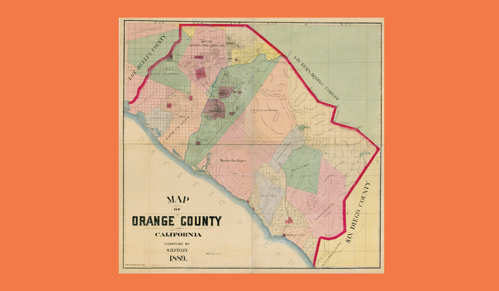
Map of Orange County. Hand colored map on 4 sheets. Finley, S. H. and H.S. Crocker & Co. San Francisco, 1889. Courtesy of Library of Congress Geography and Map Division Washington.
August 1, 1889, Orange County officially seceded from Los Angeles County. By World War II, the following Orange County cities had been incorporated: Brea, Fullerton, Huntington Beach, La Habra, Laguna Beach, Newport Beach, Placentia, San Clemente, Seal Beach, and Tustin.
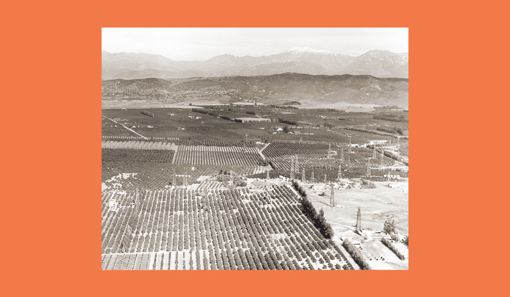
Aerial View of Orange Groves and Oil Fields North of Huntington Beach. Huntington Beach, California. ca. 1920. California Historical Society Collection, 1860-1960. Courtesy of the USC Libraries Special Collections.
Orange County remained largely rural during the first half of the 20th century, with its economy rooted in agriculture, particularly citrus crops. The Hewes Ranch, for example, was located in the Foothill District of Orange County. Its crops included oranges, lemons, and avocados. The aerial view of Huntington Beach circa 1920 shows views of orange groves and oil fields.
Map of Orange County. Hand colored map on 4 sheets. Finley, S. H. and H.S. Crocker & Co. San Francisco, 1889. Courtesy of Library of Congress Geography and Map Division Washington.
August 1, 1889, Orange County officially seceded from Los Angeles County. By World War II, the following Orange County cities had been incorporated: Brea, Fullerton, Huntington Beach, La Habra, Laguna Beach, Newport Beach, Placentia, San Clemente, Seal Beach, and Tustin.
Aerial View of Orange Groves and Oil Fields North of Huntington Beach. Huntington Beach, California. ca. 1920. California Historical Society Collection, 1860-1960. Courtesy of the USC Libraries Special Collections.
Orange County remained largely rural during the first half of the 20th century, with its economy rooted in agriculture, particularly citrus crops. The Hewes Ranch, for example, was located in the Foothill District of Orange County. Its crops included oranges, lemons, and avocados. The aerial view of Huntington Beach circa 1920 shows views of orange groves and oil fields.
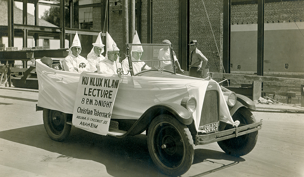
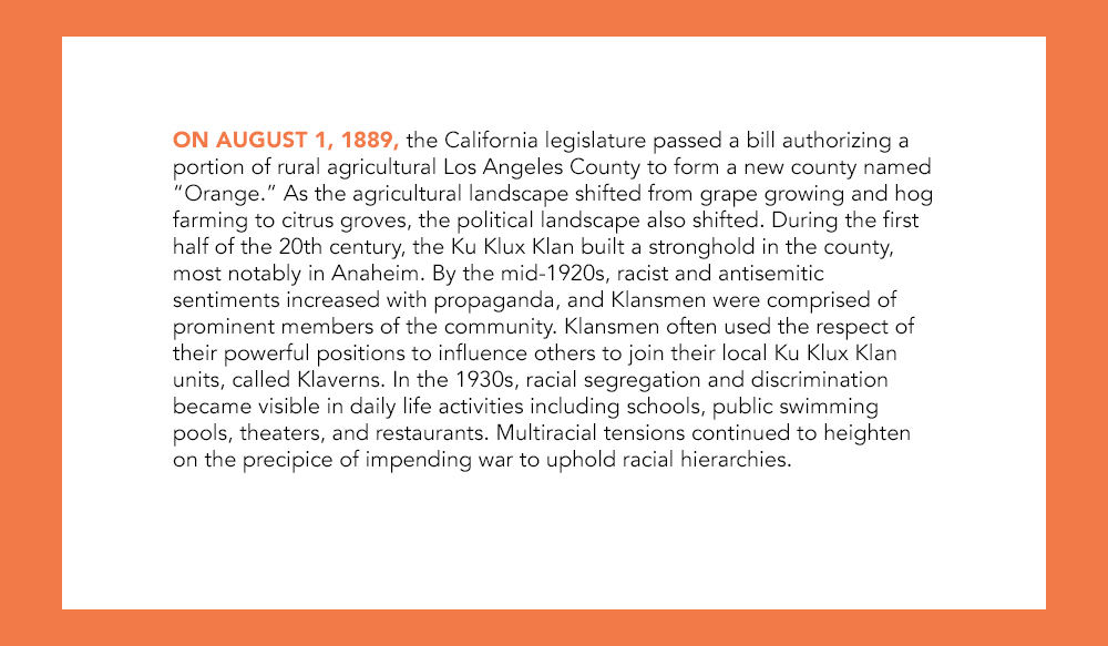
Ku Klux Klan Members in Automobile Advertising Lecture At Anaheim Christian Tabernacle. Circa 1924-1925. Courtesy of the Anaheim Public Library.
Lectures hosted by the Ku Klux Klan were open to the public and anyone could attend. The intent was to encourage people to join the Anaheim Klavern.
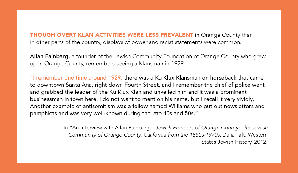
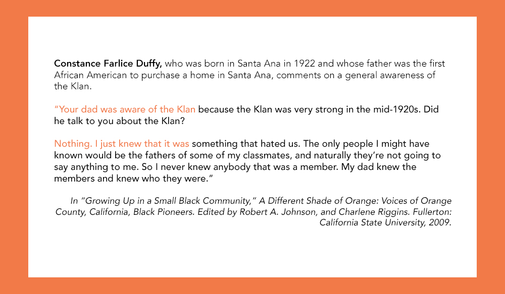

Introduction - The Ku Klux Klan and Racial Tensions Before WWII - OC History: Did You Know?
Lighter Than Air - Tustin Hangars: Did You Know? - Orange County Air Corps Training Center
Santa Ana Army Air Base: Did You Know? - Jewish Community Blossoms in Orange County
Jewish Pioneers in OC: Did You Know? - Japanese Internment Camps
Growth of the Mexican Community in Orange County - Barrio Life